Geological & Geotechnical Services

Understanding the ground. Building with confidence.

Ground investigation, engineering geology, groundwater and seabed studies for projects across the UAE and GCC — planned and interpreted by the same team that handles your environmental approvals.

  1. 01Geotechnical & Soil Investigation
  2. 02Geological & Engineering Assessments
  3. 03Hydrogeological Assessments
  4. 04Geophysical Surveys
  5. 05Soil & Sediment Assessment
  6. 06Marine & Coastal Geological Support
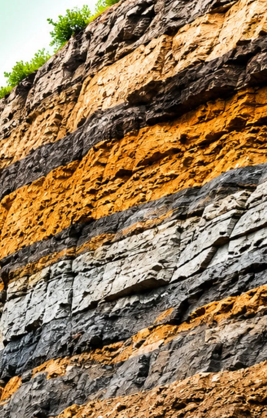
Exposed rock strata showing layered sedimentary geology
Every layer tells you something. Bearing capacity, groundwater, excavation risk — we read the ground before it surprises you.

Why it matters

Most construction overruns start below ground level.

Unexpected rock, soft layers, high groundwater or contaminated fill are among the most common causes of redesign, delay and claims on site. A properly scoped investigation costs a small fraction of the project and removes most of that uncertainty.

GCEEC provides geological and geotechnical services alongside its environmental consultancy, so ground data collected for design also serves your EIA, permits and baseline studies — one programme of fieldwork, one consistent dataset.

Where we support your project

  • FeasibilityDesk studies, site walkovers and preliminary geology to compare sites and flag ground risk early.
  • DesignDetailed investigation, laboratory testing and design parameters for foundations, basements and earthworks.
  • PermittingSoil, sediment and groundwater baselines for EIAs and authority submissions.
  • ConstructionSupplementary investigation, dewatering input and verification of ground conditions as works proceed.

What we do

Technical assessments and field investigations

Six service lines that can be commissioned individually or combined into a single investigation programme for your site.

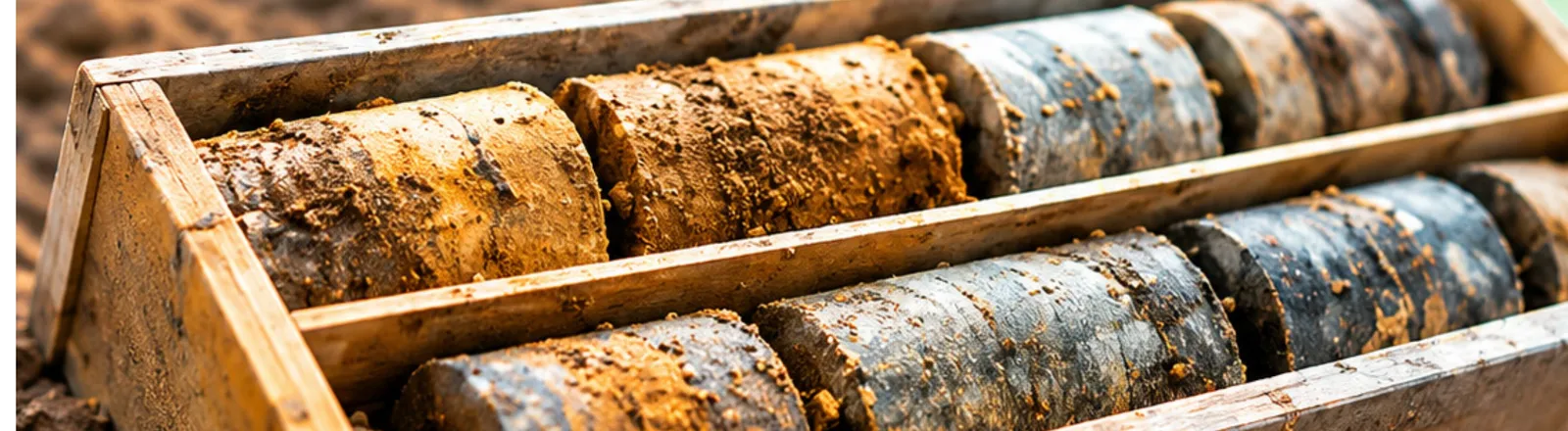
Rock and soil core samples laid out in a wooden core box after drilling 01
Service 01

Geotechnical & Soil Investigation

Ground-condition assessment and coordination of soil investigation programmes.

Foundation design is only as reliable as the ground data behind it. We scope the investigation around the structure and the site, coordinate the drilling and in-situ testing contractors, supervise the work on site, and turn borehole logs and laboratory results into ground models your designers can use.

Scope

  • Desk study and review of existing ground information
  • Borehole, trial pit and CPT layout planning
  • Site supervision and logging of drilling works
  • In-situ testing coordination (SPT, permeability, plate load)
  • Geotechnical interpretation and design parameters

Typical deliverables

Factual & interpretive reportsBorehole logsGround model

Mountain terrain with exposed rock faces used for geological mapping 02
Service 02

Geological & Engineering Assessments

Geological mapping, site characterisation and engineering geology support.

Before a layout is fixed, it pays to know what the site is made of and how it behaves. Our geologists map surface exposures, read the regional geology, and identify features that affect design and cost — weak layers, cavities, faulting, slope instability or aggressive ground.

Scope

  • Field geological mapping and exposure logging
  • Site characterisation and geological hazard screening
  • Slope, rock mass and excavation stability input
  • Engineering geology support through design

Typical deliverables

Geological mapsSite characterisation reportHazard register
Water droplet falling into still water, representing groundwater studies 03
Service 03

Hydrogeological Assessments

Groundwater conditions, aquifer characteristics and preliminary groundwater assessments.

Groundwater drives dewatering cost, basement design and contamination risk. We establish groundwater levels and flow, characterise the aquifer, and assess how a project could affect — or be affected by — the water beneath it.

Scope

  • Groundwater level monitoring and flow direction
  • Aquifer characterisation and permeability testing
  • Preliminary groundwater and dewatering assessments
  • Groundwater quality sampling for baseline and EIA

Typical deliverables

Hydrogeological reportGroundwater contour plansBaseline data
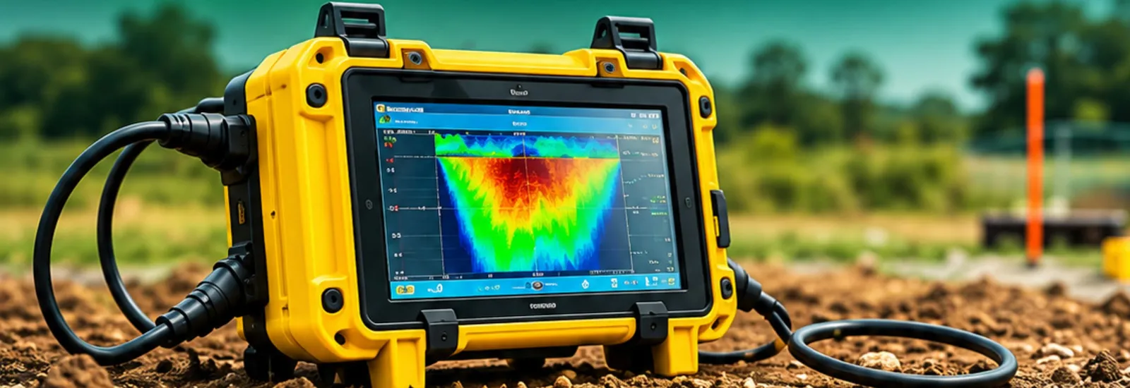
Field geophysical instrument displaying a subsurface profile on site 04
Service 04

Geophysical Surveys

Subsurface profiling to support ground investigations.

Boreholes tell you about points; geophysics fills in the ground between them. Non-intrusive surveys help us target boreholes where they matter, trace buried features and voids, and extend investigation coverage across large or sensitive sites.

Scope

  • Subsurface profiling (resistivity, seismic refraction, GPR)
  • Detection of voids, buried services and obstructions
  • Targeting of intrusive investigation locations
  • Integration of geophysical and borehole data

Typical deliverables

Survey sectionsInterpretation reportAnomaly plans
Soil sample in a laboratory flask prepared for analysis 05
Service 05

Soil & Sediment Assessment

Sampling coordination, laboratory analysis and technical interpretation.

Whether the question is contamination, reuse of excavated material or the condition of dredge sediment, the answer depends on sound sampling and correct interpretation. We plan the sampling, manage chain of custody to accredited laboratories, and assess the results against the applicable UAE and international criteria.

Scope

  • Field sampling plans and sampling coordination
  • Laboratory analysis through accredited labs
  • Contamination screening and material classification
  • Technical interpretation against regulatory criteria

Typical deliverables

Sampling planAnalytical resultsInterpretive report
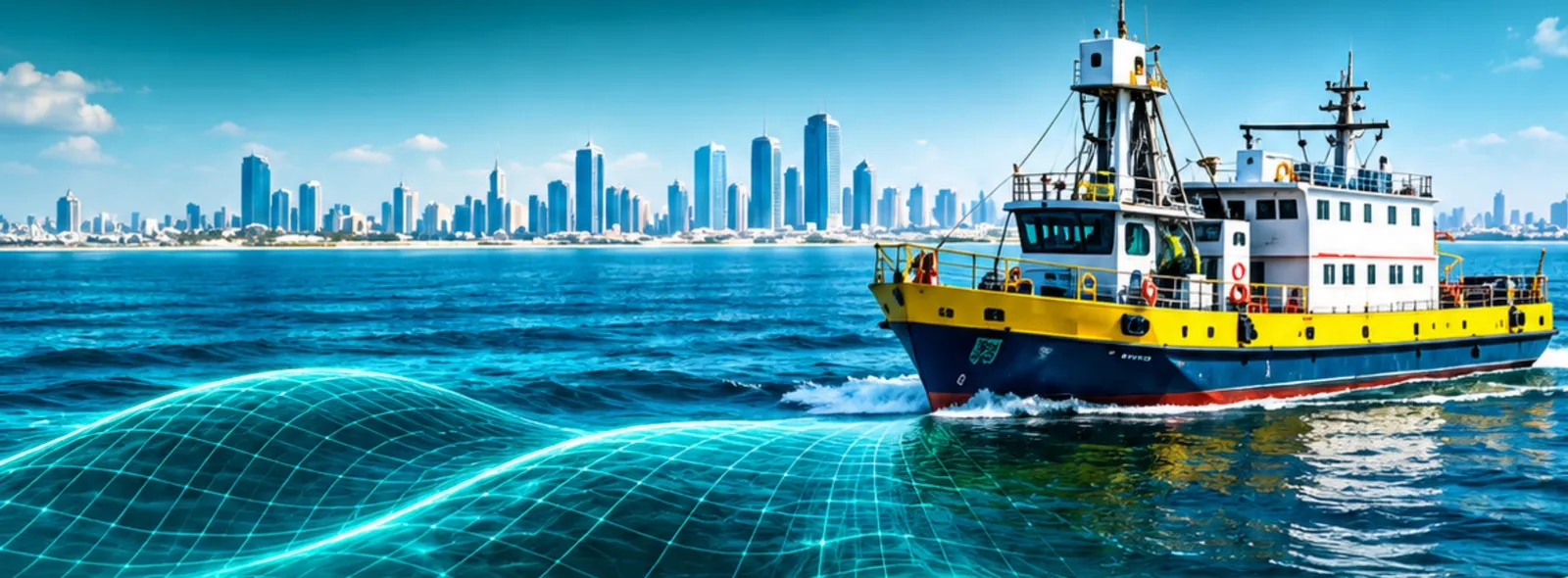
Survey vessel operating off the coast for a marine geological study 06
Service 06

Marine & Coastal Geological Support

Geological and sediment-related assessments for coastal and marine projects.

Reclamation, dredging, marinas and outfalls all start with the seabed. Working alongside our marine environmental team, we assess seabed and sediment conditions, coastal geology and shoreline processes to support design, permitting and environmental approvals.

Scope

  • Seabed and sediment assessment
  • Coastal geological and shoreline studies
  • Sediment sampling for dredging and reclamation
  • Geological input to marine EIA and permits

Typical deliverables

Seabed characterisationSediment quality reportEIA input

How an investigation runs

From desk study to design parameters

Each stage is scoped to answer a specific design or permitting question — no testing for the sake of testing.

  1. Desk study

    Existing maps, records and previous investigations reviewed before anyone goes to site.

  2. Investigation design

    Scope, locations and testing matched to the structure, the ground and the approvals needed.

  3. Fieldwork

    Drilling, sampling, mapping and geophysics coordinated and supervised by our engineers.

  4. Laboratory testing

    Samples tested through accredited laboratories with documented chain of custody.

  5. Interpretation & reporting

    Results turned into ground models, design parameters and clear recommendations.

Questions

Common questions from clients

Do you carry out the drilling yourselves?

We plan, coordinate and supervise the investigation and interpret the results. Drilling and in-situ testing are carried out by approved specialist contractors working to our scope, and laboratory testing by accredited laboratories. This keeps the investigation independent and lets us pick the right equipment for each site.

At what stage of a project should ground investigation start?

As early as possible. A desk study and preliminary investigation at feasibility stage often changes the layout or foundation concept, which is far cheaper than finding problems during construction. Detailed investigation then follows once the design is taking shape.

Can geological work be combined with an EIA?

Yes, and it usually should be. Soil, sediment and groundwater baselines are required for most environmental impact assessments in the UAE. Running both together avoids duplicate fieldwork and gives the regulator a single, consistent dataset.

Do you work on offshore and coastal sites?

Yes. Our marine and coastal geological support covers seabed and sediment assessment for dredging, reclamation, marinas and coastal infrastructure, delivered together with our marine environmental services team.

Start with a conversation

Tell us about your site and what you need to know about it.

Send a location plan and a short description of the development. We will come back with a proposed scope, programme and fee for the investigation.